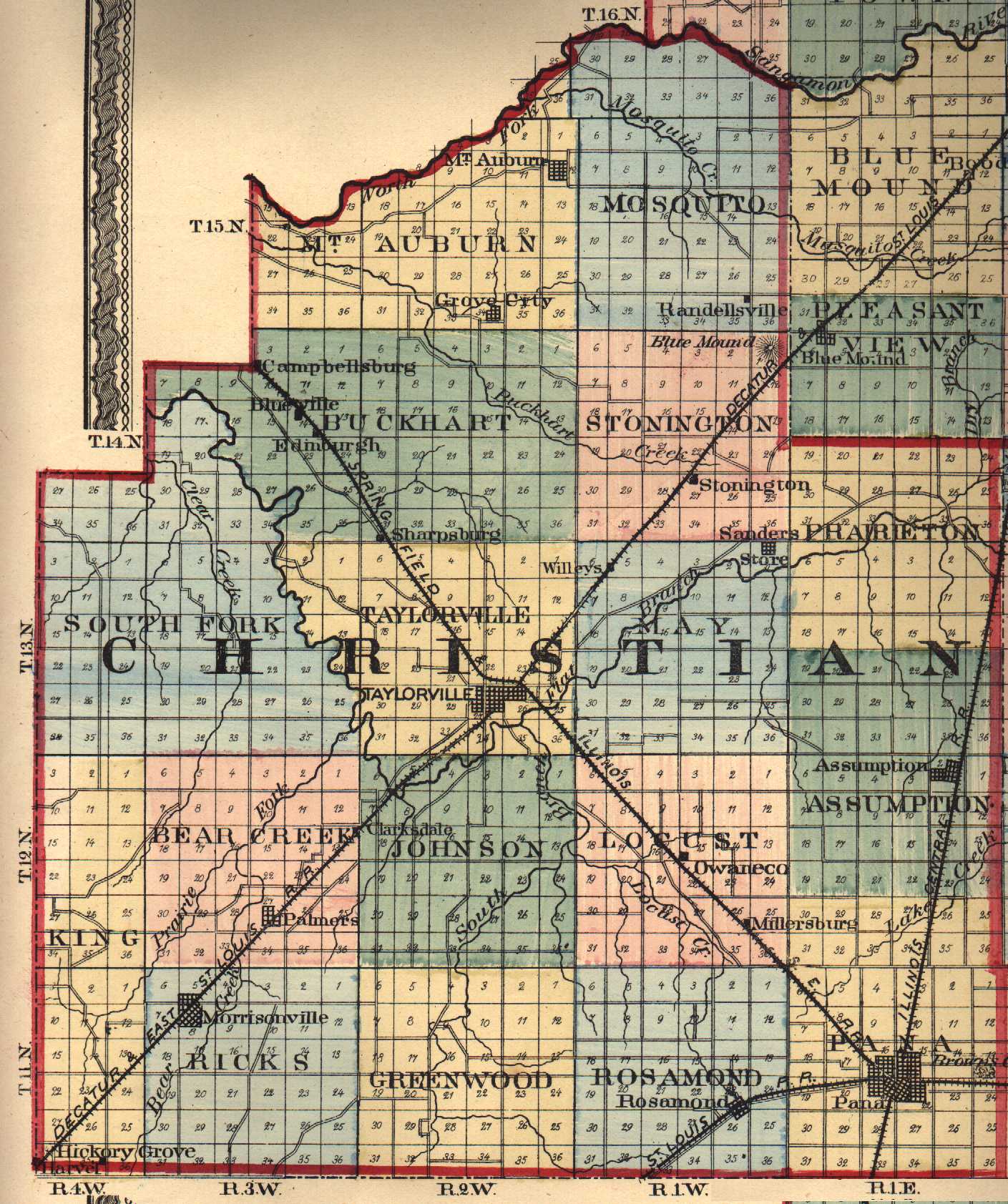
- View complete 1875 Tract Map of Christian County (406 KB)
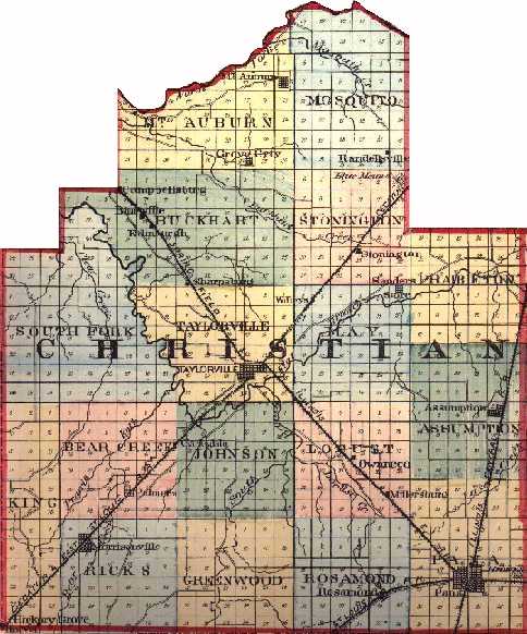
- View complete 1875 Tract Map in condensed version
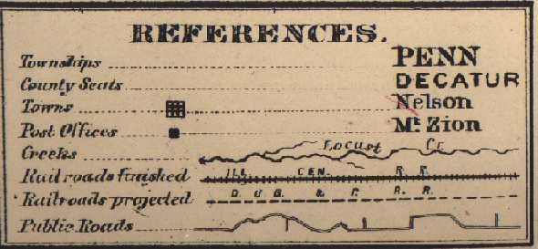
- Map Legend
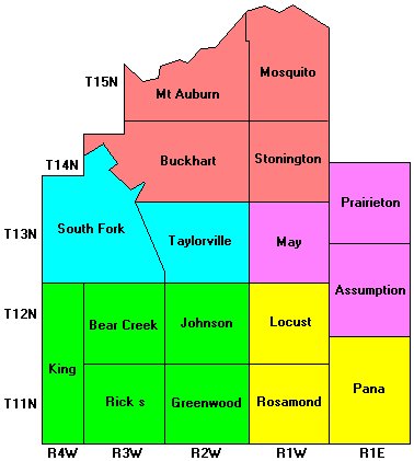
- Or for faster loading, click the colored township areas on the left to bring up more detailed maps.
|
|
|
First visit Illinois Public Domain Land Sales at gopher://gopher.uic.edu:70/11/library/libdb/landsale/ (Christian is county 011 here)
Or the BLM Land Patent Grants at http://www.glorecords.blm.gov/ and hunt for your ancestors.
Jot down the Township, range and section number then come back here to our map page. For my GGG-Grandfather Moses Reed the info I jotted down was Township 11 (T11N), Range 4E (R4E), Section 23. Now I find the point where T11 & R4E intersect above (Shelbyville Township), view the plat map for that section and walla, that little square with a number 23 on it in Shelbyville Township is the section where my ancestors lived in 1830!!
The sections were divided further into section parts (eg: Section Part E2NW, Section Part E2SW) but we do not have those maps (Plat Maps) available to us at this time. ILGenWeb's County Boundary Maps 1790 - Present - Christian became a county in 1839. (It was originally named Dane).
Do you have a Christian County Map to share with your fellow researchers? Just attach it to Email!
© 1999 All Rights Reserved
![]()